 |
Darby Creek |
The map below shows the three major components of the Darby Creek Trail within Haverford Township's Darby Creek Valley Park greenway. (All are shown in dark orange.) Each segment offers a wonderful opportunity to stroll or jog along the bank of Darby Creek through the woods.
Click or tap on the "four corners" icon (upper right) to open a larger full-screen map.
Click or tap on the small box icon (upper left) to open a list of trails.
Click or tap on a trail or its listing to see its details, length and maybe a photo.
You can access the Northern Segment (gravel, earthen and grass surfaces) of the Darby Creek Trail from Darby Creek Road just below Haverford Reserve. You can park in the bottom lot within the Reserve, by the Dog Park and the Southbrook Trail entrance. Walk down Parkview Avenue to Darby Creek Road, then circle along its wide, striped shoulder. After you pass under the Marple Road bridge, look for a grassy access way on your right that leads to the creek and the trail. At the southern end of this segment, you reach private property. Since there is no access point at this end, you need to retrace your steps back toward Haverford Reserve.
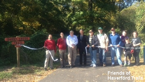
The popular Center Segment of the Darby Creek Trail is a first class, multi-use macadam trail (great for baby strollers!). It connects the Merry Place park on Glendale Road to the school bus yard off of Old West Chester Pike and Hilltop Road, just south of the Barnaby's restaurant. By car, you can park either at Merry Place or at the northern trailhead off of Hilltop Road, between the school bus yard and the creek. In addition to these endpoint trailheads, three "spur" walking trails provide access to the main trail from nearby neighborhoods. The narrow earthen Westgate Hills Spur (shown in purple on the map) leads down to the Darby Creek Trail from the Westgate Hills neighborhood. It begins between 1412 and 1414 Windsor Park Lane and winds its way down the steep creek valley hillside to the main trail. The Hilltop Spur (pink) connects the Hilltop and Bon Air neighborhoods to Merry Place and the Darby Creek Trail. Another fairly steep earthen foot trail, it leads from the Hilltop and Steel Road ballfields and park areas down to Glendale Road. After crossing carefully, you bear left to the trail through the trees, reaching the Merry Place gazebo across a small footbridge to access the park, creek and main trail. The short Pilgrim Gardens Spur (blue) connects with this neighborhood's sidewalks. Cross Burmont Road carefully at its intersection with Glendale Road, then walk to the right through the small grass field, where an earthen walking path enters the trees and meets the Hilltop Spur at the footbridge into Merry Place.
Lastly, the Southern Segment of the Darby Creek Trail (grass, stones and earthen surface) passes along the edge of Jack McDonald Field (along Burmont Road). At Warrior Road, where the ballfield's gravel lot offers parking, carefully cross Burmont Road. Head to your right and proceed around the vehicular fence and gate to continue along the creekside, all the way to the gas station where Township Line Road swings into State Road, across from the Drexeline Shopping Center.